|
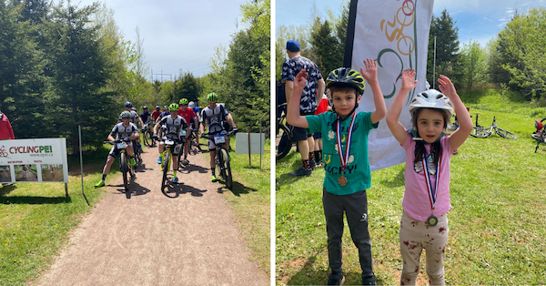
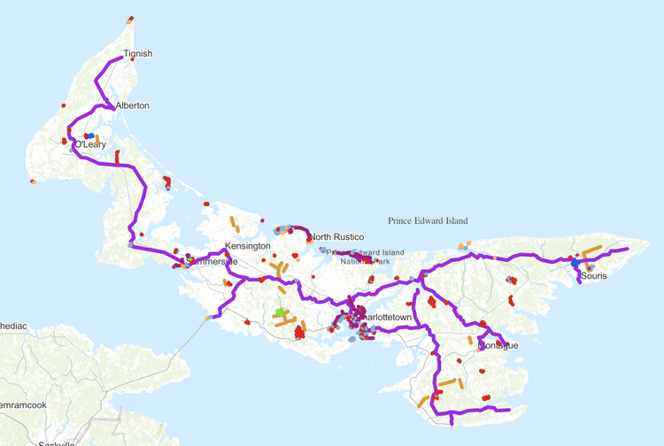
As a fantastic service to hikers and bikers across PEI, our friends at Recreation PEI have just launched a brand new, interactive map of walking and cycling trails throughout PEI! Check it out by clicking here: https://experience.arcgis.com/experience/660278831c914e66b9e2a7d329da9b7a?org=peigov (once you get to the site, click on the "Map" icon at the top to make the map come up, showing you all the different trails, colour coded by type. You can also select different Map Layers to narrow down your search. Most trails were mapped in the spring of 2021 using the latest GNSS technology. The system was accurate to within 1 metre in some cases making the trace extremely accurate. The map was completed in partnership with the Government of PEI through the Department of Health & Wellness – Sport, Recreation, and Physical Activity Division and Tourism PEI- PEI Provincial Parks, along with input from Island Trails, Cycling PEI, Parks Canada, and the Island Nature Trust. New trails are being added as they are completed. There is an emphasis on trails that are publicly accessible and not on private property without a user agreement. Because of this, there are some known trails which do not appear on this tool. Recreation PEI executive director Valerie Vuillemot cautions: “Many trails experienced significant damage in the fall of 2022 and not all have re-opened or have only partially re-opened. Users are asked to respect all signage and barriers on the trail system and to not go on closed trails or sections.” The map is best used on mobile devices and includes a “locate me” feature so trail and active transportation route users can see exactly where they are on the map if they have location services enabled. It can be found on the Recreation PEI website at www.recreationpei.ca If you discover a new trail thanks to this tool, we'd love to hear about it! Also, if there are any trails missing from the map that you think should be added, please let Recreation PEI know by writing to info@recreationpei.ca.
|